


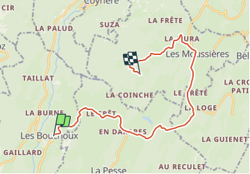

12,2 km | 18,4 km-effort


Benutzer


Kostenlosegpshiking-Anwendung
 SityTrail
IGN / Geografische Institute
SityTrail World
Die Welt öffnet sich für Sie
Tour Auto von 14,3 km verfügbar auf Burgund und Freigrafschaft, Jura, Les Bouchoux. Diese Tour wird von MIKARANDO vorgeschlagen.
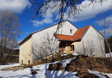
Trajet en voiture vers Les Monderans (Didier TONIN) depuis Les Bouchoux.
Coordonnées GPS des Monderans :
Latitude : 46,31795 ; Longitude : 5,86300
Le chemin final non goudroné n'est ni sur Wase ne sur Maps.
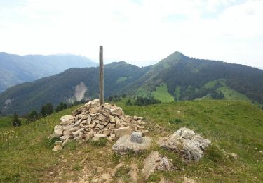
Wandern

Wandern
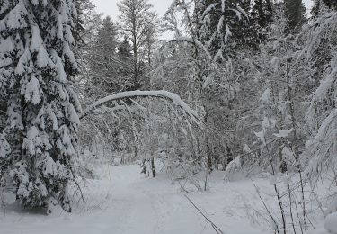
Schneeschuhwandern
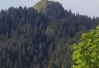
Wandern
Wandern
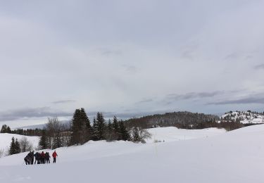
Schneeschuhwandern
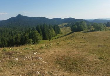
Wandern
Wandern
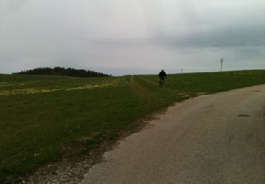
Mountainbike